The Histories of Mexico
Supplemental Info: Ep 13: Maps of Native American tribes of the Southwestern United States

Map of the extent of Anazasi, Hohokam and Mogollon settlements, pre Apache and Navajo incursions.
- https://commons.wikimedia.org/wiki/File:Map_Anasazi,_Hohokam_and_Mogollon_cultures-en.svg

Map, Apache raiding routes into Mexico. Image courtesy of The University of Virginia. Image available on the Internet and included in accordance with Title 17 U.S.C. Section 107.
- https://www.tshaonline.org/handbook/entries/apache-indians

Map showing the relative location of the O'odham and Apache Language groups
- https://native-land.ca/maps/territories/akimel-oodham/

Map showing the tribes of the Southwest in the eighteenth century as taken from the Handbook of North American Indians vols. 8 and 9
- https://www.firstnationsseeker.ca/Level3.html#anchor44106

Another map showing some more territorial breakdowns of the many tribes that resided in Sonora and Chihuahua during the 17th and 18th century.
- https://native-land.ca/maps/territories/akimel-oodham/
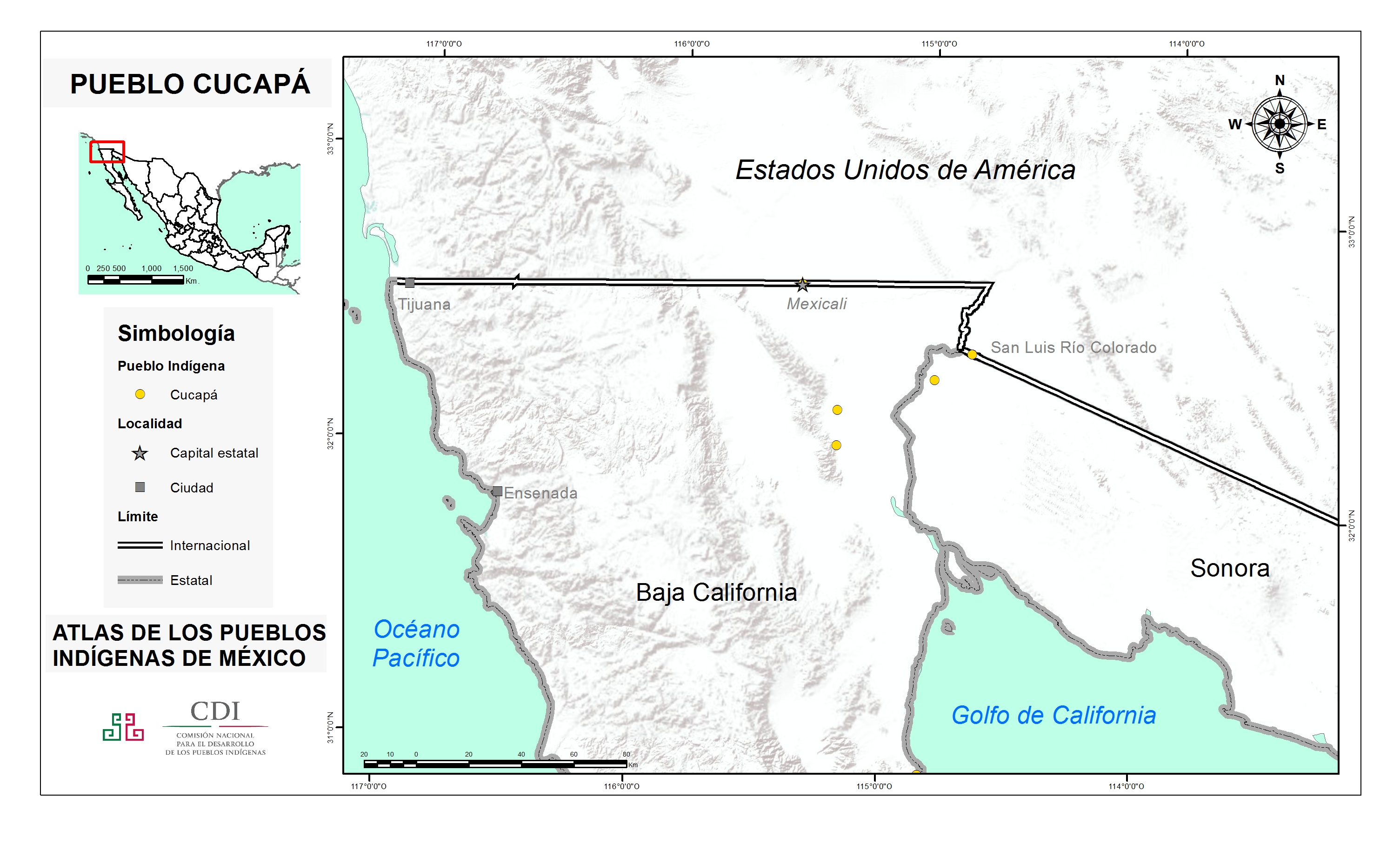
Map showing the breakdown of current Cucapá locations within Baja California.
- http://atlas.inpi.gob.mx/cucapa-ubicacion/